Desertification in Alicante province
Anyone searching the internet for information on this topic today will find that Alicante is the province with the highest percentage of land degradation in Spain, affecting 94% of its total area. More than Murcia and Almería? Yes, more than Murcia and Almería.
When we talk about desertification, that is to say, the specific degradation of arid and semi-arid land, Alicante is once again top of the national rankings, with nearly 99% of that type of land affected
These are the conclusions of the Atlas de la Desertificación de España, published at the end of 2025 by the University of Alicante and the CSIC (Consejo Superior de Investigaciones Científicas).
What is desertification (and what isn’t)?
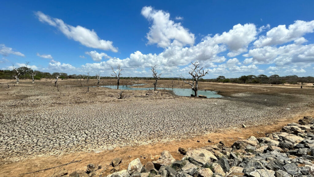
The research team is keen to correct a widespread misconception: desertification does not mean the desert is advancing. “Desertification is usually assumed to mean the desert is advancing, but that is not true. In a desert, there is little rainfall and low natural productivity, but that does not necessarily mean it is degraded,” points out Jaime Martínez, a researcher at the CSIC. Consequently, not every dry landscape is necessarily desertified.
The correct meaning of desertification is the deterioration of an ecosystem which, although arid, was previously productive. Human activity is the key factor in the desertification of a geographical area suffering from water scarcity, and it affects not only the soil but also the aquifers; this is why the Valencia-Murcia arc is threatened by this phenomenon, as its groundwater is, according to experts, severely degraded due to the overexploitation of water and intensive agriculture.
To describe the ‘degradation’ caused by desertification, the Atlas adopts the definition set out in the United Nations Convention to Combat Desertification, namely: the loss of a territory’s biological and economic productivity and biodiversity.
And this concept is not always intuitive. For example, whilst in many semi-arid areas of the Vega Baja hinterland the degradation is easy to spot at a glance, in areas of intensive irrigation the problem is hidden: although the crops look green and productive thanks to technology (desalination, drip irrigation, fertilisers), the soil is functionally degraded and the aquifers are overexploited.
The new aridity map produced as part of this research project shows that, over the last 30 years, hyper-arid areas have emerged in south-eastern Valencia that did not exist before, and there is no indication that the situation will improve.
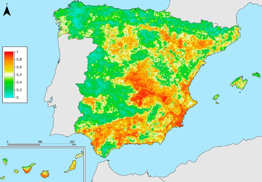
Figure 1. Land degradation probability in Spain
A problematic process caused by human activity
And why do we care about the degradation of arid and semi-arid lands in particular? Because, unlike in humid areas, the processes of degradation here are difficult to reverse due to the slow pace of biophysical processes in dry areas, such as soil regeneration or aquifer recharge. In other words, what is lost is lost for a very long time.
The Atlas identifies the following as the main causes of desertification in Alicante, and in particular in the south of the province:
- Over-exploitation of water resources: the region consumes more than 80% of its renewable freshwater resources and is heavily reliant on the Tajo-Segura water transfer and desalination. Key aspects of this process include:
- Demographic and tourism pressure, with a massive concentration along the first few kilometres of coastline, leads to a convergence in time and space of peak water demand precisely during the period of greatest annual water stress.
- The intensive farming model: agro-industrial irrigation systems and greenhouses, which have largely replaced responsible traditional farming, generate an enormous demand for water and also damage the soil through the use of aggressive practices and products.
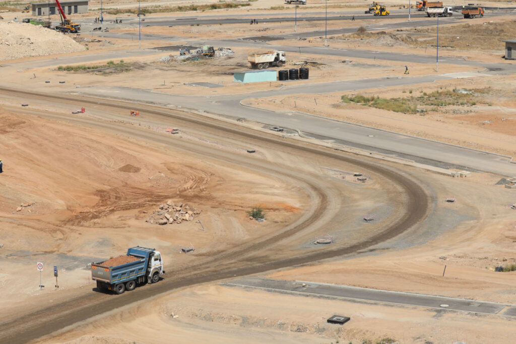
- Urban growth: loss of vegetation cover and sealing of fertile soil due to construction, in a region where the urban area has tripled in size since the 1970s, in many cases through development models that show little regard for the environment.
- Climate change , which leads to both higher average temperatures – resulting in increased evapotranspiration from plants – and more erratic rainfall, which in turn causes runoff and erosion. All this occurs in an environment that is already prone to degradation due to its structural aridity and sodic or saline soils.
Is there anything we can do?
The good news is that desertification, whilst difficult to combat, is not impossible to halt and can even be reversed. There are notable examples in China (the Great Green Wall around the Gobi Desert, the Loess Plateau), in Africa (the so-called Great Green Wall in Niger and Burkina Faso, the Green Legacy in Ethiopia), and closer to home, projects such as those from AlVelAl or those carried out by ARBA in south-eastern Spain.
The restoration of a healthy vegetation cover can help to limit surface temperatures, balance the water cycle and rainfall, and create fertile soil capable of storing water and withstanding runoff. At ARBA Vega Baja we are deeply concerned about and aware of this process of desertification, which is having a particularly severe impact on our region. We firmly believe that every effort counts towards slowing down, or even reversing, this process. If you’d like to do your bit for this project, there are many ways to do so: